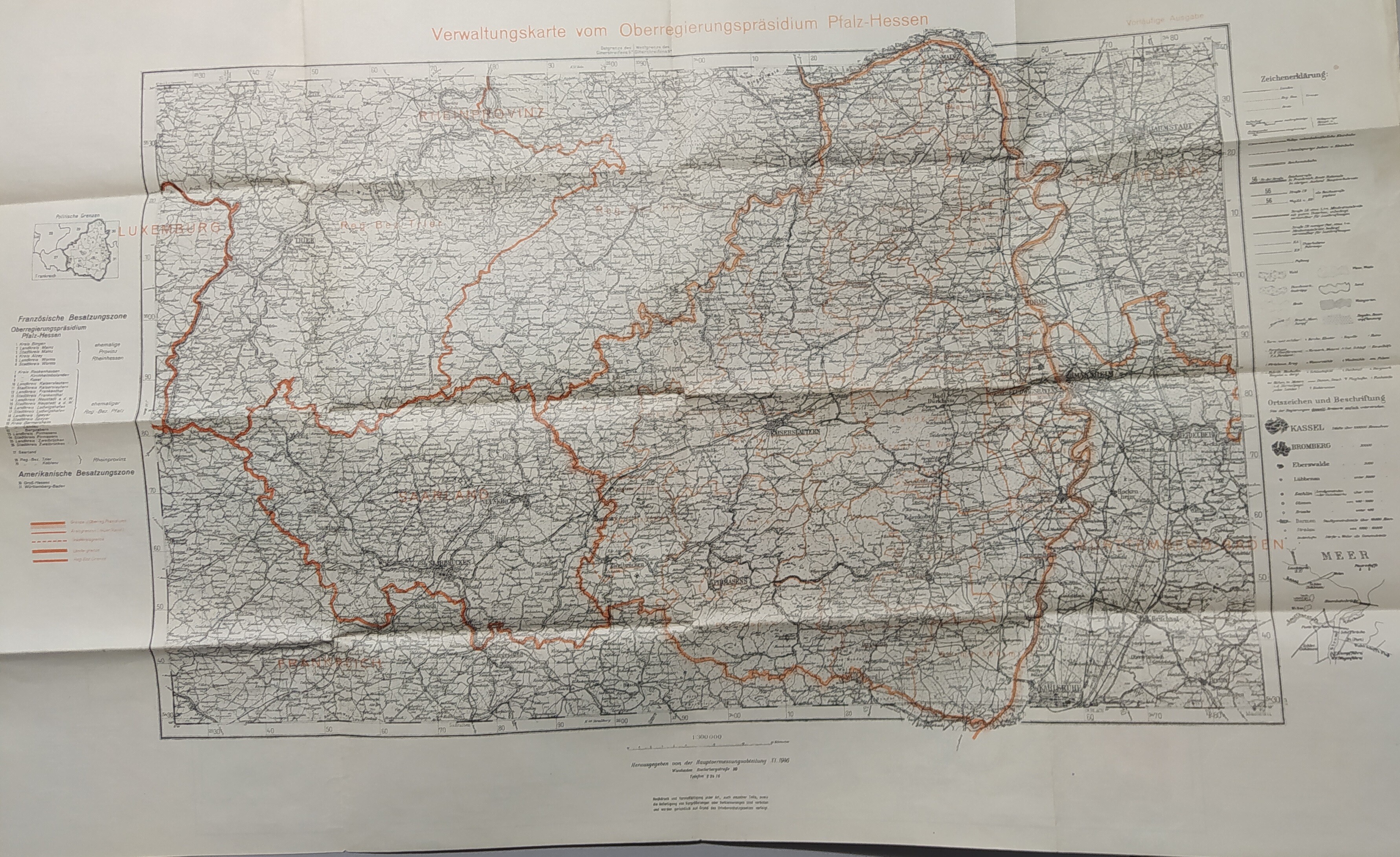
Gedruckte Landkarte französische und amerikanische Besatzungszonen. Vorläufige Ausgabe.
Schwarz auf Weiß mit roten Grenzen 1:300.000
Die Rückseite ist eine Ungültig überdruckte ehemalige Ausgabe mit zusätzl. blauem Druck für Gewässer und Angabe der Nadelabweichung für den magnetischen Norden. Mitte 1936.

Verwaltungskarte vom Oberregierungspräsidium Pfalz-Hessen
Description
Material/Technique
Papier / gedruckt
Measurements
Länge: 51 mm, Länge: 80 cm
Inventory number
[Hkk200246]
Belongs to
[Last update: ]
Usage and citation
Rights for the images are shown below the large images (which are accessible by clicking on the smaller images). If nothing different is mentioned there the same regulation as for textual information applies.
Any commercial usage of text or image demands communication with the museum.